
Cawsane topographic map
Click on the map to display elevation.
About this map
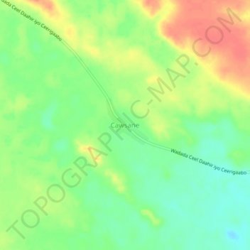
Name: Cawsane topographic map, elevation, terrain.
Location: Cawsane, Las Khorey District, Sanaag, Somaliland, Somalia (10.56288 48.78722 10.60288 48.82722)
Average elevation: 2,585 ft
Minimum elevation: 2,503 ft
Maximum elevation: 2,677 ft