
Thank you for supporting this site ❤️
Make a donation
Make a donation
Gear up for your next adventure:
As an Amazon Associate, this site earns from qualifying purchases at no extra cost to you.
العسلي topographic map
Click on the map to display elevation.
Thank you for supporting this site ❤️
Make a donation
Make a donation
Gear up for your next adventure:
As an Amazon Associate, this site earns from qualifying purchases at no extra cost to you.
About this map
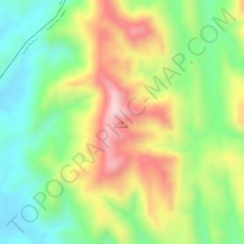
Name: العسلي topographic map, elevation, terrain.
Location: العسلي, Al Qunfudhah, Makkah Region, Saudi Arabia (19.49077 41.46164 19.49087 41.46174)
Average elevation: 1,250 ft
Minimum elevation: 781 ft
Maximum elevation: 1,804 ft
Thank you for supporting this site ❤️
Make a donation
Make a donation
Gear up for your next adventure:
As an Amazon Associate, this site earns from qualifying purchases at no extra cost to you.