
Pico Duarte topographic map
Click on the map to display elevation.
Pico Duarte
Pico Duarte is the highest peak in the Dominican Republic, on the island of Hispaniola and in all the Caribbean. At 3,101 m (10,174 ft) above sea level, it gives the Dominican Republic the 16th-highest maximum elevation of any island in the world. Additionally, it is only 85 kilometres (53 miles) northeast of the region's lowest point, Lake Enriquillo, in the Cordillera Central range, also the largest in the country and island. The Cordillera Central extends from the plains between San Cristóbal and Baní to the northwestern peninsula of Haiti, where it is known as the Massif du Nord. The highest elevations of the Cordillera Central are found in the Pico Duarte and Valle Nuevo massifs.
About this map
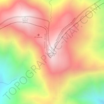
Name: Pico Duarte topographic map, elevation, terrain.
Average elevation: 9,022 ft
Minimum elevation: 7,211 ft
Maximum elevation: 10,148 ft