
白地村 topographic map
Interactive map
Click on the map to display elevation.
About this map
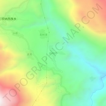
Name: 白地村 topographic map, elevation, terrain.
Location: 白地村, 三坝纳西族乡, 香格里拉市, 迪庆藏族自治州, 云南省, 中国 (27.47367 100.03693 27.51367 100.07693)
Average elevation: 8,245 ft
Minimum elevation: 6,555 ft
Maximum elevation: 10,961 ft
Other topographic maps
Click on a map to view its topography, its elevation and its terrain.