
光秃山 topographic map
Interactive map
Click on the map to display elevation.
About this map
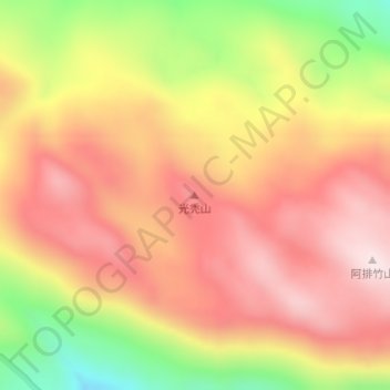
Name: 光秃山 topographic map, elevation, terrain.
Location: 光秃山, 三坝纳西族乡, 香格里拉市, 迪庆藏族自治州, 云南省, 中国 (27.41568 100.09315 27.41578 100.09325)
Average elevation: 12,480 ft
Minimum elevation: 11,401 ft
Maximum elevation: 13,196 ft
Other topographic maps
Click on a map to view its topography, its elevation and its terrain.