
Thank you for supporting this site ❤️
Make a donation
Make a donation
Gear up for your next adventure:
As an Amazon Associate, this site earns from qualifying purchases at no extra cost to you.
Al `Iqlah topographic map
Click on the map to display elevation.
Thank you for supporting this site ❤️
Make a donation
Make a donation
Gear up for your next adventure:
As an Amazon Associate, this site earns from qualifying purchases at no extra cost to you.
About this map
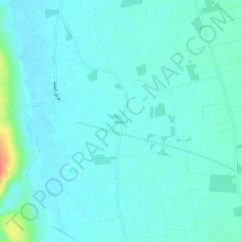
Name: Al `Iqlah topographic map, elevation, terrain.
Location: Al `Iqlah, Az Zulfi, Riyadh Region, Saudi Arabia (26.15864 44.80419 26.19864 44.84419)
Average elevation: 2,024 ft
Minimum elevation: 1,995 ft
Maximum elevation: 2,195 ft
Thank you for supporting this site ❤️
Make a donation
Make a donation
Gear up for your next adventure:
As an Amazon Associate, this site earns from qualifying purchases at no extra cost to you.