Geolocate

Devgaon topographic map

Click on the map to display elevation.

About this map

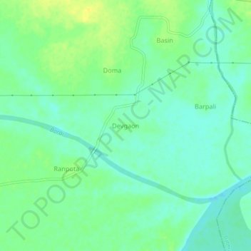
Name: Devgaon topographic map, elevation, terrain.

Location: Devgaon, Malkharoda Tahsil, Sakti, Chhattisgarh, India (21.74505 82.97416 21.78505 83.01416)

Average elevation: 692 ft

Minimum elevation: 663 ft

Maximum elevation: 728 ft

Gear up for your next adventure:

🔋Solar Power Banks - Keep your GPS and phone charged in remote wilderness areas
🧭Compass with Lanyard - Easy‑carry compass for navigation
🎒Hydration Pack - Hands‑free water reservoir for long hikes
📚USA Hiking Guide Books - Top trail guides and map books
🔭Compact Binoculars - HD vision for scouting terrain and identifying distant landmarks

As an Amazon Associate, this site earns from qualifying purchases at no extra cost to you.