
拉西镇 topographic map
Interactive map
Click on the map to display elevation.
About this map
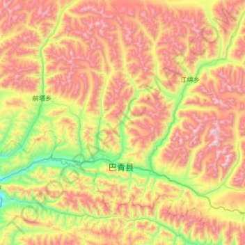
Name: 拉西镇 topographic map, elevation, terrain.
Location: 拉西镇, 巴青县, 那曲市, 西藏自治区, 中国 (31.80053 93.88609 32.19593 94.39924)
Average elevation: 15,548 ft
Minimum elevation: 13,028 ft
Maximum elevation: 18,583 ft
Other topographic maps
Click on a map to view its topography, its elevation and its terrain.