
Gârda de Sus topographic map
Interactive map
Click on the map to display elevation.
About this map
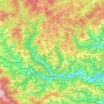
Name: Gârda de Sus topographic map, elevation, terrain.
Location: Gârda de Sus, Alba, Romania (46.41460 22.71992 46.56897 22.86153)
Average elevation: 3,635 ft
Minimum elevation: 2,129 ft
Maximum elevation: 5,791 ft
Other topographic maps
Click on a map to view its topography, its elevation and its terrain.