
Arieșeni topographic map
Interactive map
Click on the map to display elevation.
About this map
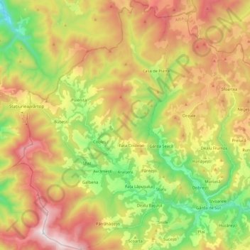
Name: Arieșeni topographic map, elevation, terrain.
Location: Arieșeni, Alba, Romania (46.43092 22.66380 46.57628 22.80564)
Average elevation: 3,789 ft
Minimum elevation: 1,850 ft
Maximum elevation: 6,037 ft
Other topographic maps
Click on a map to view its topography, its elevation and its terrain.