
Thank you for supporting this site ❤️
Make a donation
Make a donation
Gear up for your next adventure:
As an Amazon Associate, this site earns from qualifying purchases at no extra cost to you.
Contla topographic map
Click on the map to display elevation.
Thank you for supporting this site ❤️
Make a donation
Make a donation
Gear up for your next adventure:
As an Amazon Associate, this site earns from qualifying purchases at no extra cost to you.
About this map
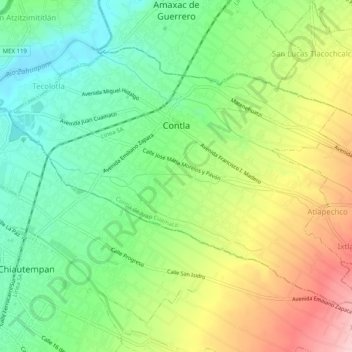
Name: Contla topographic map, elevation, terrain.
Location: Contla, Contla de Juan Cuamatzi, Tlaxcala, 90620, México (19.30907 -98.19182 19.34382 -98.14140)
Average elevation: 7,635 ft
Minimum elevation: 7,375 ft
Maximum elevation: 8,025 ft
Thank you for supporting this site ❤️
Make a donation
Make a donation
Gear up for your next adventure:
As an Amazon Associate, this site earns from qualifying purchases at no extra cost to you.