
Thank you for supporting this site ❤️
Make a donation
Make a donation
Gear up for your next adventure:
As an Amazon Associate, this site earns from qualifying purchases at no extra cost to you.
Koottanad topographic map
Click on the map to display elevation.
Thank you for supporting this site ❤️
Make a donation
Make a donation
Gear up for your next adventure:
As an Amazon Associate, this site earns from qualifying purchases at no extra cost to you.
About this map
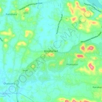
Name: Koottanad topographic map, elevation, terrain.
Location: Koottanad, Pattambi, Palakkad District, Kerala, 679533, India (10.72092 76.08097 10.80092 76.16097)
Average elevation: 98 ft
Minimum elevation: -3 ft
Maximum elevation: 430 ft
Thank you for supporting this site ❤️
Make a donation
Make a donation
Gear up for your next adventure:
As an Amazon Associate, this site earns from qualifying purchases at no extra cost to you.