
Make a donation
Gear up for your next adventure:
As an Amazon Associate, this site earns from qualifying purchases at no extra cost to you.
Masouleh topographic map
Click on the map to display elevation.
Make a donation
Gear up for your next adventure:
As an Amazon Associate, this site earns from qualifying purchases at no extra cost to you.
Masouleh
Masuleh is approximately 60 km southwest of Rasht and 32 km west of Fuman. Its people are Talysh The village is 1,050 meters above sea level in the Alborz (or Elburz) mountain range, near the southern coast of the Caspian Sea. The village itself has a difference in elevation of 100 meters.
Make a donation
Gear up for your next adventure:
As an Amazon Associate, this site earns from qualifying purchases at no extra cost to you.
About this map
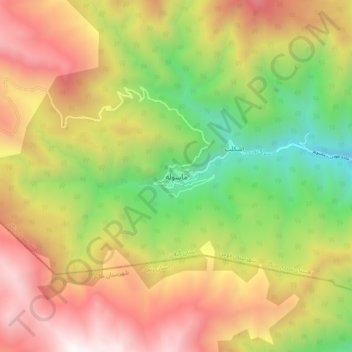
Name: Masouleh topographic map, elevation, terrain.
Average elevation: 5,423 ft
Minimum elevation: 1,939 ft
Maximum elevation: 9,117 ft
Make a donation
Gear up for your next adventure:
As an Amazon Associate, this site earns from qualifying purchases at no extra cost to you.