
Thank you for supporting this site ❤️
Make a donation
Make a donation
Gear up for your next adventure:
As an Amazon Associate, this site earns from qualifying purchases at no extra cost to you.
Chapadgaon topographic map
Click on the map to display elevation.
Thank you for supporting this site ❤️
Make a donation
Make a donation
Gear up for your next adventure:
As an Amazon Associate, this site earns from qualifying purchases at no extra cost to you.
About this map
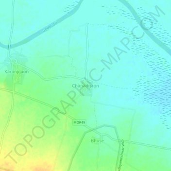
Name: Chapadgaon topographic map, elevation, terrain.
Location: Chapadgaon, Niphad, Nashik, Maharashtra, 422210, India (19.99270 74.07111 20.03270 74.11111)
Average elevation: 1,772 ft
Minimum elevation: 1,745 ft
Maximum elevation: 1,831 ft
Thank you for supporting this site ❤️
Make a donation
Make a donation
Gear up for your next adventure:
As an Amazon Associate, this site earns from qualifying purchases at no extra cost to you.