Geolocate

Puthur topographic map

Click on the map to display elevation.

About this map

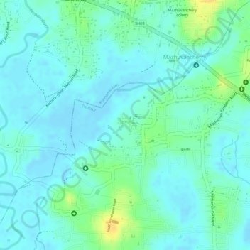
Name: Puthur topographic map, elevation, terrain.

Location: Puthur, Thrissur, Kerala, 680546, India (10.60013 76.12005 10.60933 76.13230)

Average elevation: 26 ft

Minimum elevation: -13 ft

Maximum elevation: 95 ft

Other topographic maps

Click on a map to view its topography, its elevation and its terrain.

Poomala Dam

India > Kerala > Thrissur > Thrissur

Average elevation: 325 ft

Poomala Dam

India > Kerala > Thrissur > Thrissur

Average elevation: 325 ft

Gear up for your next adventure:

📡GPS Antenna Upgrade - Enhance GPS reception in remote terrain
📻Weather Alert Radios - Stay informed of storm risks while off-the-grid
📱Solar Portable Charger - Solar power bank for charging devices off‑grid
🧯Emergency Survival Kit - All‑in‑one survival essentials for the backcountry
🧷Carabiner Set - Durable clips for gear attachment

As an Amazon Associate, this site earns from qualifying purchases at no extra cost to you.