Geolocate

Finger Lakes topographic map

Click on the map to display elevation.

About this map

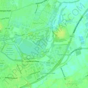
Name: Finger Lakes topographic map, elevation, terrain.

Location: Finger Lakes, Newnham, Bedford, England, United Kingdom (52.12880 -0.43012 52.13144 -0.42596)

Average elevation: 85 ft

Minimum elevation: 62 ft

Maximum elevation: 108 ft

Gear up for your next adventure:

❄️Traction Cleats - Prevent slips on icy trails during winter hikes
Backpacking Tents - Weight-optimized shelters for multi-day topographic surveys
🕶️Glacier Sunglasses - Side shields to protect eyes from high-altitude snow glare
💧Water Filtration Bottles - Safely drink from streams and lakes while exploring
🧭Hiking Compass - Precision compass for reliable navigation in the wilderness

As an Amazon Associate, this site earns from qualifying purchases at no extra cost to you.