
王卡乡 topographic map
Interactive map
Click on the map to display elevation.
About this map
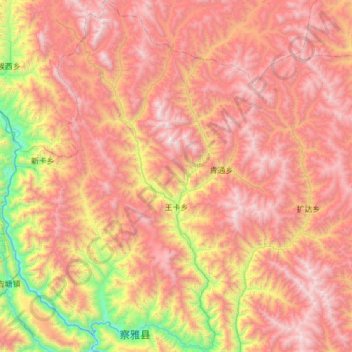
Name: 王卡乡 topographic map, elevation, terrain.
Location: 王卡乡, 察雅县, 昌都市, 西藏自治区, 中国 (30.62767 97.43166 31.15559 97.73451)
Average elevation: 14,186 ft
Minimum elevation: 10,069 ft
Maximum elevation: 17,602 ft
Other topographic maps
Click on a map to view its topography, its elevation and its terrain.