Geolocate

Country Walk topographic map

Click on the map to display elevation.

About this map

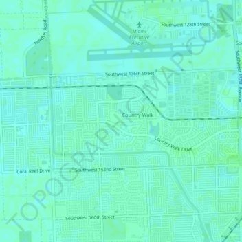
Name: Country Walk topographic map, elevation, terrain.

Location: Country Walk, Miami-Dade County, Florida, United States (25.62506 -80.45629 25.64108 -80.41455)

Average elevation: 16 ft

Minimum elevation: 7 ft

Maximum elevation: 30 ft

Miami-Dade County trails, hiking, mountain biking, running and outdoor activities

Gear up for your next adventure:

🔊Portable Camp Speaker - Music and alerts at camp
🌡️Handheld Weather Meters - Measure wind, temp, and pressure for safe mountain travel
📚USA Hiking Guide Books - Top trail guides and map books
🌐World Map Poster - Decorative world maps with topographic info
🕶️Glacier Sunglasses - Side shields to protect eyes from high-altitude snow glare

As an Amazon Associate, this site earns from qualifying purchases at no extra cost to you.