Geolocate

Jelak topographic map

Click on the map to display elevation.

About this map

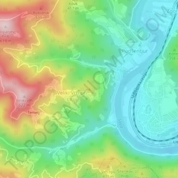
Name: Jelak topographic map, elevation, terrain.

Location: Jelak, Litija, Upravna Enota Litija, 1270, Slovenia (46.06531 14.80570 46.06541 14.80580)

Average elevation: 1,178 ft

Minimum elevation: 735 ft

Maximum elevation: 1,985 ft

Gear up for your next adventure:

🔊Portable Camp Speaker - Music and alerts at camp
🗺️Topographic Maps - Detailed topo maps for hiking, exploring and outdoor navigation
🥤Water Filter Bottle - All‑in‑one filter bottle for safe hydration
🔪Outdoor Multitools - Essential survival tools for gear repair and field use
📻Weather Alert Radios - Stay informed of storm risks while off-the-grid

As an Amazon Associate, this site earns from qualifying purchases at no extra cost to you.