
Distrito Ugarteche topographic map
Interactive map
Click on the map to display elevation.
About this map
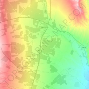
Name: Distrito Ugarteche topographic map, elevation, terrain.
Average elevation: 3,077 ft
Minimum elevation: 2,694 ft
Maximum elevation: 3,579 ft
Other topographic maps
Click on a map to view its topography, its elevation and its terrain.
Dique Potrerillos
Argentina > Mendoza > Departamento Luján de Cuyo > Distrito Cacheuta
Average elevation: 4,980 ft