Geolocate

Madhakali topographic map

Click on the map to display elevation.

About this map

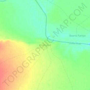
Name: Madhakali topographic map, elevation, terrain.

Location: Madhakali, Baardheere بااردىرآ, Gedo, Jubaland, Somalia (2.04304 42.19101 2.08304 42.23101)

Average elevation: 299 ft

Minimum elevation: 217 ft

Maximum elevation: 390 ft

Gear up for your next adventure:

🛶Inflatable Kayak - Portable kayak for rivers, lakes, and expeditions
🧦Hiking Socks - Comfortable socks to prevent blisters on long hikes
🧢Outdoor Hiking Hat - Sun protection hat for outdoor explorers
🌎3D Topographic Globes - Raised relief globes for a tactile understanding of geography
🪶Paracord Bracelet - Survival bracelet with built‑in tools

As an Amazon Associate, this site earns from qualifying purchases at no extra cost to you.