Geolocate

Doiwāla topographic map

Interactive map

Click on the map to display elevation.

About this map

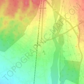
Name: Doiwāla topographic map, elevation, terrain.

Location: Doiwāla, Dehradun, Uttarakhand, 248140, India (30.15636 78.10464 30.19636 78.14464)

Average elevation: 1,591 ft

Minimum elevation: 1,476 ft

Maximum elevation: 1,706 ft

Other topographic maps

Click on a map to view its topography, its elevation and its terrain.

Dehradun

India > Uttarakhand > Dehradun

Dehradun, Dehradun District, Uttarakhand, 248001, India

Average elevation: 2,966 ft

Sahastradhara

India > Uttarakhand > Dehradun

Sahastradhara, Dehradun, Dehradun District, Uttarakhand, 248009, India

Average elevation: 3,609 ft

Mohanpur

India > Uttarakhand > Dehradun > Dehradun

Mohanpur, Dehradun, Dehradun District, Uttarakhand, 248001, India

Average elevation: 1,965 ft

Mussoorie

India > Uttarakhand > Dehradun

Mussoorie, Dehradun, Uttarakhand, 248179, India

Average elevation: 5,230 ft