
La Cantera topographic map
Click on the map to display elevation.
About this map
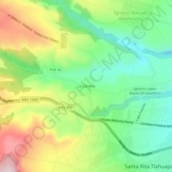
Name: La Cantera topographic map, elevation, terrain.
Location: La Cantera, Santa Rita Tlahuapan, Tlahuapan, Puebla, Mexico (19.33083 -98.61389 19.37083 -98.57389)
Average elevation: 8,757 ft
Minimum elevation: 8,258 ft
Maximum elevation: 9,514 ft