
Make a donation
Gear up for your next adventure:
As an Amazon Associate, this site earns from qualifying purchases at no extra cost to you.
Towell Lake Dam topographic map
Click on the map to display elevation.
Make a donation
Gear up for your next adventure:
As an Amazon Associate, this site earns from qualifying purchases at no extra cost to you.
About this map
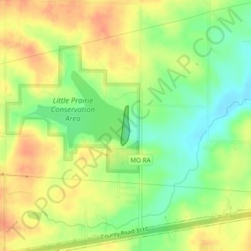
Name: Towell Lake Dam topographic map, elevation, terrain.
Location: Towell Lake Dam, Phelps County, Missouri, United States (37.99332 -91.69046 37.99756 -91.68937)
Average elevation: 1,050 ft
Minimum elevation: 968 ft
Maximum elevation: 1,115 ft
Phelps County trails, hiking, mountain biking, running and outdoor activities
Make a donation
Gear up for your next adventure:
As an Amazon Associate, this site earns from qualifying purchases at no extra cost to you.
Other topographic maps
Click on a map to view its topography, its elevation and its terrain.
Make a donation
Gear up for your next adventure:
As an Amazon Associate, this site earns from qualifying purchases at no extra cost to you.