Geolocate

Qalyub topographic map

Click on the map to display elevation.

About this map

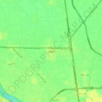
Name: Qalyub topographic map, elevation, terrain.

Location: Qalyub, Al Qalyubiya, 13612, Egypt (30.13888 31.16644 30.21888 31.24644)

Average elevation: 56 ft

Minimum elevation: 10 ft

Maximum elevation: 115 ft

Other topographic maps

Click on a map to view its topography, its elevation and its terrain.

Sahel Degwy, Al Sahel

Egypt > Al Qalyubiya

Average elevation: 46 ft

Gear up for your next adventure:

🌐World Map Poster - Decorative world maps with topographic info
🔦LED Headlamp - Bright and durable LED headlamp for night navigation
🧤Tactile Hiking Gloves - Keep hands warm while operating GPS and smartphone screens
🔋Solar Power Banks - Keep your GPS and phone charged in remote wilderness areas
🕶️Glacier Sunglasses - Side shields to protect eyes from high-altitude snow glare

As an Amazon Associate, this site earns from qualifying purchases at no extra cost to you.