
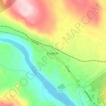
Bispgården topographic map
Interactive map
Click on the map to display elevation.
About this map
Name: Bispgården topographic map, elevation, terrain.
Location: Bispgården, Ragunda kommun, Jämtland County, 840 73, Sweden (63.00415 16.61549 63.04415 16.65549)
Average elevation: 623 ft
Minimum elevation: 269 ft
Maximum elevation: 1,125 ft
Other topographic maps
Click on a map to view its topography, its elevation and its terrain.
Östersund
Östersund, Östersunds kommun, Jämtland County, 831 86, Sweden
Average elevation: 1,119 ft