Geolocate

Gahmar topographic map

Click on the map to display elevation.

About this map

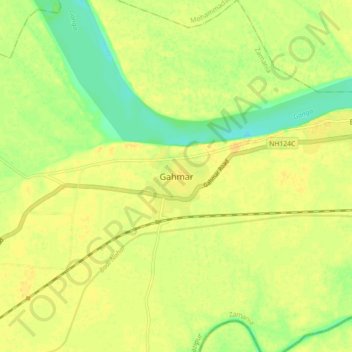
Name: Gahmar topographic map, elevation, terrain.

Location: Gahmar, Zamania, Ghazipur, Uttar Pradesh, 232327, India (25.45920 83.76888 25.53920 83.84888)

Average elevation: 210 ft

Minimum elevation: 157 ft

Maximum elevation: 236 ft

Gear up for your next adventure:

👟Trail Running Shoes - Lightweight shoes for trail runners
🧭Hiking Compass - Precision compass for reliable navigation in the wilderness
🧤Tactile Hiking Gloves - Keep hands warm while operating GPS and smartphone screens
🧯Portable Fire Pit - Compact fire pit for camping spots
📡Handheld GPS Device - Reliable handheld GPS for outdoor navigation

As an Amazon Associate, this site earns from qualifying purchases at no extra cost to you.