
Soco Falls topographic map
Click on the map to display elevation.
About this map
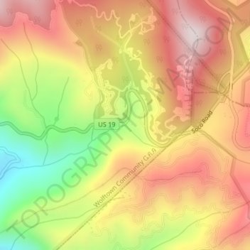
Name: Soco Falls topographic map, elevation, terrain.
Average elevation: 4,216 ft
Minimum elevation: 3,140 ft
Maximum elevation: 5,026 ft
Jackson County trails, hiking, mountain biking, running and outdoor activities
Other topographic maps
Click on a map to view its topography, its elevation and its terrain.
Wolftown Community
United States > North Carolina > Jackson County > Wolftown Community
Average elevation: 3,665 ft