
Hindon topographic map
Interactive map
Click on the map to display elevation.
About this map
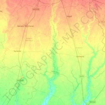
Name: Hindon topographic map, elevation, terrain.
Location: Hindon, Saharanpur, Uttar Pradesh, 247001, India (29.51870 77.53301 29.89707 77.57905)
Average elevation: 850 ft
Minimum elevation: 781 ft
Maximum elevation: 906 ft
Other topographic maps
Click on a map to view its topography, its elevation and its terrain.
Saharanpur
India > Uttar Pradesh > Saharanpur
Saharanpur, Uttar Pradesh, 247001, India
Average elevation: 909 ft