Geolocate

Handiaya topographic map

Click on the map to display elevation.

About this map

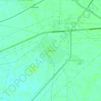
Name: Handiaya topographic map, elevation, terrain.

Location: Handiaya, Barnala Tahsil, Barnala, Punjab, 148107, India (30.30664 75.48275 30.34664 75.52275)

Average elevation: 748 ft

Minimum elevation: 732 ft

Maximum elevation: 761 ft

Gear up for your next adventure:

🧥Men's Rain Shells - Premium waterproof and breathable jackets for mountain weather
🦺Reflective Outdoor Gear - Safety gear for low‑light conditions
🔭Compact Binoculars - HD vision for scouting terrain and identifying distant landmarks
🥩Freeze-Dried Meals - Nutritious and lightweight food for remote expeditions
🪑Ultralight Camp Chairs - Portable seating for resting after a long day of mapping

As an Amazon Associate, this site earns from qualifying purchases at no extra cost to you.