Geolocate

Capenhurst topographic map

Click on the map to display elevation.

About this map

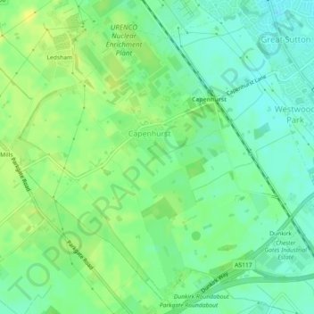
Name: Capenhurst topographic map, elevation, terrain.

Location: Capenhurst, Cheshire West and Chester, England, United Kingdom (53.24218 -2.97147 53.26697 -2.92706)

Average elevation: 131 ft

Minimum elevation: 98 ft

Maximum elevation: 164 ft

Gear up for your next adventure:

🔭Compact Binoculars - HD vision for scouting terrain and identifying distant landmarks
🛡️Bear Spray Outdoor - Protection in bear country hikes
🧭Orienteering Set - Complete compass and map reading kit
📌Outdoor GPS Map App - Apps and devices for digital topographic navigation
🦺Reflective Outdoor Gear - Safety gear for low‑light conditions

As an Amazon Associate, this site earns from qualifying purchases at no extra cost to you.