Geolocate

Monigong topographic map

Click on the map to display elevation.

About this map

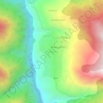
Name: Monigong topographic map, elevation, terrain.

Location: Monigong, Monigong EAC, Shi Yomi, Arunachal Pradesh, India (28.76373 94.25855 28.80373 94.29855)

Average elevation: 6,719 ft

Minimum elevation: 5,164 ft

Maximum elevation: 8,898 ft

Gear up for your next adventure:

🪶Camp Gear Gift Set - Perfect gift bundle for outdoor fans
🔋Solar Power Banks - Keep your GPS and phone charged in remote wilderness areas
🔥Plasma Lighters - Windproof lighters that work in any weather condition
🧭Outdoor Navigation Book - Learn advanced navigation skills
📻Weather Alert Radios - Stay informed of storm risks while off-the-grid

As an Amazon Associate, this site earns from qualifying purchases at no extra cost to you.