Geolocate

Lincoln topographic map

Click on the map to display elevation.

About this map

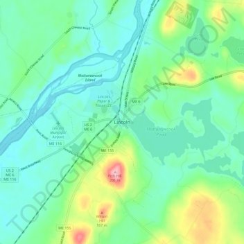
Name: Lincoln topographic map, elevation, terrain.

Location: Lincoln, Penobscot County, Maine, 04457, United States (45.32224 -68.54472 45.40224 -68.46472)

Average elevation: 272 ft

Minimum elevation: 141 ft

Maximum elevation: 679 ft

Penobscot County trails, hiking, mountain biking, running and outdoor activities

Gear up for your next adventure:

🌎3D Topographic Globes - Raised relief globes for a tactile understanding of geography
🛰️Satellite Messengers - Emergency SOS and two-way messaging for off-grid adventures
🧯Portable Fire Pit - Compact fire pit for camping spots
💧Water Filtration Bottles - Safely drink from streams and lakes while exploring
🧦Hiking Socks - Comfortable socks to prevent blisters on long hikes

As an Amazon Associate, this site earns from qualifying purchases at no extra cost to you.