
Litchfield topographic map
Click on the map to display elevation.
About this map
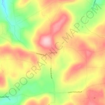
Name: Litchfield topographic map, elevation, terrain.
Location: Litchfield, Bradford County, Pennsylvania, United States (41.94757 -76.45022 41.98757 -76.41022)
Average elevation: 1,381 ft
Minimum elevation: 1,001 ft
Maximum elevation: 1,677 ft
Bradford County trails, hiking, mountain biking, running and outdoor activities