Geolocate

Lumsden topographic map

Click on the map to display elevation.

About this map

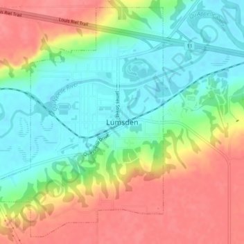
Name: Lumsden topographic map, elevation, terrain.

Location: Lumsden, Division No. 6, Saskatchewan, S0G 3C0, Canada (50.63361 -104.89334 50.65898 -104.85878)

Average elevation: 1,729 ft

Minimum elevation: 1,617 ft

Maximum elevation: 1,860 ft

Gear up for your next adventure:

📚USA Hiking Guide Books - Top trail guides and map books
🥾Women's Hiking Boots - Top-rated trail boots with ankle support and superior grip
🧭Map Reading Tools - Tools and kits for map navigation
📌Outdoor GPS Map App - Apps and devices for digital topographic navigation
🧥Waterproof Jacket for Hiking - Breathable and rugged rain jacket for outdoor excursions

As an Amazon Associate, this site earns from qualifying purchases at no extra cost to you.