Geolocate

Deep Lake topographic map

Click on the map to display elevation.

About this map

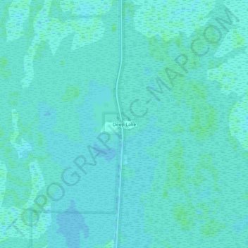
Name: Deep Lake topographic map, elevation, terrain.

Location: Deep Lake, Collier County, Florida, United States (26.02259 -81.36397 26.06259 -81.32397)

Average elevation: 16 ft

Minimum elevation: 10 ft

Maximum elevation: 23 ft

Collier County trails, hiking, mountain biking, running and outdoor activities

Gear up for your next adventure:

🧢Sun Protection Hats - Wide-brimmed and UPF-rated hats for high-altitude sun safety
🧭Map Reading Tools - Tools and kits for map navigation
🧭GPS Watch Accessories - Bands and chargers for GPS watches
🎒Outdoor Daypacks - Lightweight backpacks designed for carrying maps and essential gear
🛠️Outdoor Gear Repair Kit - Essential tools to fix gear on the trail

As an Amazon Associate, this site earns from qualifying purchases at no extra cost to you.