
Disney topographic map
Click on the map to display elevation.
About this map
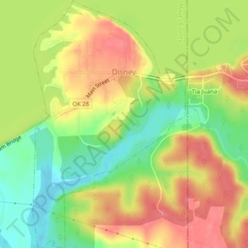
Name: Disney topographic map, elevation, terrain.
Location: Disney, Mayes County, Oklahoma, United States (36.46067 -95.02825 36.48953 -95.00607)
Average elevation: 748 ft
Minimum elevation: 620 ft
Maximum elevation: 853 ft
Mayes County trails, hiking, mountain biking, running and outdoor activities
Other topographic maps
Click on a map to view its topography, its elevation and its terrain.