Geolocate

Cuculi topographic map

Click on the map to display elevation.

About this map

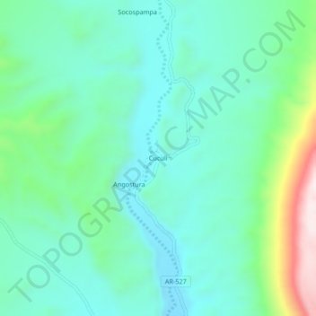
Name: Cuculi topographic map, elevation, terrain.

Location: Cuculi, Caravelí, Arequipa, Perú (-15.87710 -73.33257 -15.83710 -73.29257)

Average elevation: 5,476 ft

Minimum elevation: 5,000 ft

Maximum elevation: 7,051 ft

Gear up for your next adventure:

🚁Photography Drones - Capture stunning aerial views of landforms and topography
🌡️Portable Weather Meter - Track weather conditions on the trail
🧺Microfiber Travel Towels - Compact and fast-drying towels for trail use
🪶Thermal Camp Blanket - Extra warmth for cold nights
🔭Telescopic Hiking Pole - Adjustable pole for hiking stability

As an Amazon Associate, this site earns from qualifying purchases at no extra cost to you.