Geolocate

Park topographic map

Click on the map to display elevation.

About this map

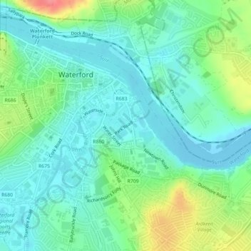
Name: Park topographic map, elevation, terrain.

Location: Park, Waterford, County Waterford, Munster, Ireland (52.24935 -7.11072 52.26158 -7.08950)

Average elevation: 72 ft

Minimum elevation: -10 ft

Maximum elevation: 259 ft

Gear up for your next adventure:

Backpacking Tent - Lightweight and durable tent for multi‑day hikes
🧥Waterproof Jacket for Hiking - Breathable and rugged rain jacket for outdoor excursions
🔦LED Headlamp - Bright and durable LED headlamp for night navigation
📶Satellite Messenger - Communication device off‑grid
🚑Emergency Bivvies - Heat-reflective sleeping bags for survival situations

As an Amazon Associate, this site earns from qualifying purchases at no extra cost to you.