Geolocate

Barnsole topographic map

Click on the map to display elevation.

About this map

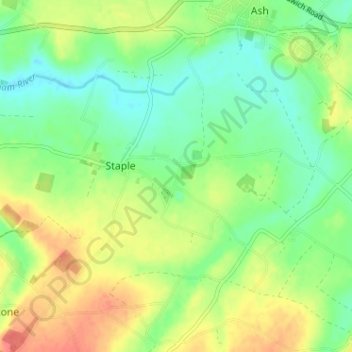
Name: Barnsole topographic map, elevation, terrain.

Location: Barnsole, Staple, Dover, Kent, England, CT3 1LE, United Kingdom (51.24221 1.24517 51.28221 1.28517)

Average elevation: 79 ft

Minimum elevation: 7 ft

Maximum elevation: 180 ft

Gear up for your next adventure:

🩳Quick‑Dry Hiking Shorts - Comfortable and quick‑dry shorts for summer hiking
😴Insulated Sleeping Pads - Compact and warm pads for high-elevation camping
🧢Outdoor Hiking Hat - Sun protection hat for outdoor explorers
🗃️Trail First Aid Kit - Essential kit for outdoor injuries and emergencies
🥾Hiking Shoes - Durable and comfortable shoes for trail hiking

As an Amazon Associate, this site earns from qualifying purchases at no extra cost to you.