Geolocate

Gondosuli topographic map

Click on the map to display elevation.

About this map

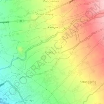
Name: Gondosuli topographic map, elevation, terrain.

Location: Gondosuli, Muntilan, Magelang, Central Java, Java, 56413, Indonesia (-7.57878 110.27610 -7.53878 110.31610)

Average elevation: 1,371 ft

Minimum elevation: 1,096 ft

Maximum elevation: 1,663 ft

Other topographic maps

Click on a map to view its topography, its elevation and its terrain.

Salam

Indonesia > Central Java > Magelang

Average elevation: 932 ft

Muntilan

Indonesia > Central Java > Magelang

Average elevation: 971 ft

Ngablak

Indonesia > Central Java > Magelang

Average elevation: 2,064 ft

Kaliurang

Indonesia > Central Java > Magelang

Average elevation: 2,520 ft

Kaliurang

Indonesia > Central Java > Magelang

Average elevation: 2,520 ft

Gear up for your next adventure:

Backpacking Tents - Weight-optimized shelters for multi-day topographic surveys
🛡️Insect Repellent - Protection against bugs during outdoor activities
🦶Carbon Trekking Poles - Reduce knee impact on steep descents with ultra-light poles
🔥Fast-Boil Camping Stoves - Efficient cooking systems for quick trail meals
🥤Water Filter Bottle - All‑in‑one filter bottle for safe hydration

As an Amazon Associate, this site earns from qualifying purchases at no extra cost to you.