Geolocate

Eckstein topographic map

Click on the map to display elevation.

About this map

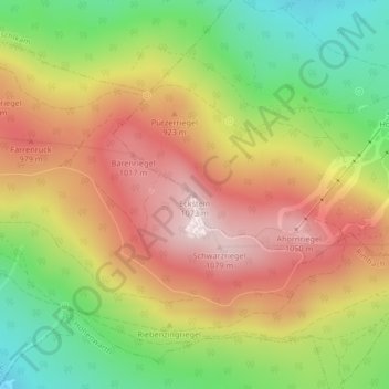
Name: Eckstein topographic map, elevation, terrain.

Location: Eckstein, Neukirchen beim Heiligen Blut, Landkreis Cham, Bayern, 93480, Deutschland (49.23724 12.93292 49.23734 12.93302)

Average elevation: 2,710 ft

Minimum elevation: 1,847 ft

Maximum elevation: 3,524 ft

Other topographic maps

Click on a map to view its topography, its elevation and its terrain.

Gear up for your next adventure:

🚁Photography Drones - Capture stunning aerial views of landforms and topography
🖼️Topo Map Wall Art - Decorative topographic prints of famous peaks and regions
🧭Orienteering Set - Complete compass and map reading kit
🦶Carbon Trekking Poles - Reduce knee impact on steep descents with ultra-light poles
🥇GPS Hiking Watch - Multi‑sport GPS watch with navigation and trail tracking

As an Amazon Associate, this site earns from qualifying purchases at no extra cost to you.