
祁浜村 topographic map
Interactive map
Click on the map to display elevation.
About this map
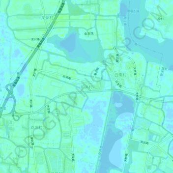
Name: 祁浜村 topographic map, elevation, terrain.
Location: 祁浜村, 苏州市, 江苏省, 215325, 中国 (31.13872 120.82313 31.17872 120.86313)
Average elevation: 10 ft
Minimum elevation: -13 ft
Maximum elevation: 26 ft
Other topographic maps
Click on a map to view its topography, its elevation and its terrain.