
铜官山 topographic map
Interactive map
Click on the map to display elevation.
About this map
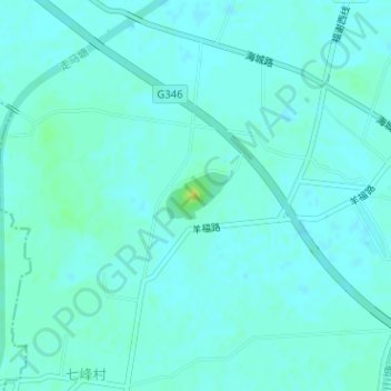
Name: 铜官山 topographic map, elevation, terrain.
Location: 铜官山, 苏州市, 江苏省, 中国 (31.79918 120.74016 31.79928 120.74026)
Average elevation: 20 ft
Minimum elevation: 7 ft
Maximum elevation: 56 ft
Other topographic maps
Click on a map to view its topography, its elevation and its terrain.