
Thank you for supporting this site ❤️
Make a donation
Make a donation
Gear up for your next adventure:
As an Amazon Associate, this site earns from qualifying purchases at no extra cost to you.
Serdo topographic map
Click on the map to display elevation.
Thank you for supporting this site ❤️
Make a donation
Make a donation
Gear up for your next adventure:
As an Amazon Associate, this site earns from qualifying purchases at no extra cost to you.
About this map
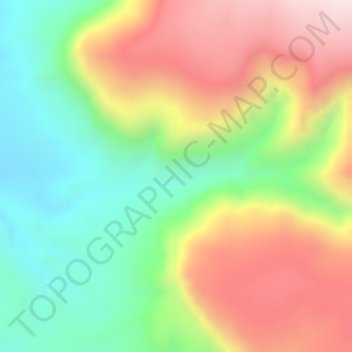
Name: Serdo topographic map, elevation, terrain.
Location: Serdo, Ambo Zuria, West Shewa, Oromia, Éthiopie (9.15667 37.74000 9.17667 37.76000)
Average elevation: 5,961 ft
Minimum elevation: 5,095 ft
Maximum elevation: 6,923 ft
Thank you for supporting this site ❤️
Make a donation
Make a donation
Gear up for your next adventure:
As an Amazon Associate, this site earns from qualifying purchases at no extra cost to you.