
Make a donation
Gear up for your next adventure:
As an Amazon Associate, this site earns from qualifying purchases at no extra cost to you.
Wienberg topographic map
Click on the map to display elevation.
Make a donation
Gear up for your next adventure:
As an Amazon Associate, this site earns from qualifying purchases at no extra cost to you.
About this map
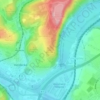
Name: Wienberg topographic map, elevation, terrain.
Average elevation: 440 ft
Minimum elevation: 279 ft
Maximum elevation: 846 ft
Make a donation
Gear up for your next adventure:
As an Amazon Associate, this site earns from qualifying purchases at no extra cost to you.
Other topographic maps
Click on a map to view its topography, its elevation and its terrain.
NSG Hohensyburg - Klusenberg
Deutschland > Nordrhein-Westfalen > Ennepe-Ruhr-Kreis > Herdecke
Das Naturschutzgebiet umfasst die bewaldeten südexponierten Ruhrtalsteilhänge oberhalb der Ruhr und des Hengsteysees innerhalb der naturräumlichen Einheit Südardeywände.[1] Die hier gelegenen Höhen Klusenberg (westlicher NSG-Teil am Hengsteysee), Syberg (mittlerer NSG-Teil unterhalb der Hohensyburg) und…
Average elevation: 535 ft
Kanuverein Wasserwanderer Hagen e.V.
Deutschland > Nordrhein-Westfalen > Ennepe-Ruhr-Kreis > Herdecke
Average elevation: 374 ft