
WWCN - AM (North Fort Meyers) topographic map
Interactive map
Click on the map to display elevation.
About this map
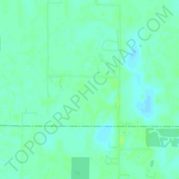
Name: WWCN - AM (North Fort Meyers) topographic map, elevation, terrain.
Average elevation: 30 ft
Minimum elevation: 13 ft
Maximum elevation: 46 ft
Charlotte County trails, hiking, mountain biking, running and outdoor activities
Other topographic maps
Click on a map to view its topography, its elevation and its terrain.
Harbour Heights
United States > Florida > Charlotte County > Punta Gorda > Harbour Heights
Average elevation: 13 ft
Ainger Creek Park
United States > Florida > Charlotte County > Englewood > New Point Comfort
Average elevation: 10 ft
Gilcrest Park
United States > Florida > Charlotte County > Punta Gorda > Fishermens Village
Average elevation: 7 ft