
Manabari Tea Garden topographic map
Interactive map
Click on the map to display elevation.
About this map
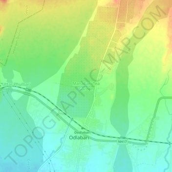
Name: Manabari Tea Garden topographic map, elevation, terrain.
Average elevation: 548 ft
Minimum elevation: 479 ft
Maximum elevation: 646 ft
Other topographic maps
Click on a map to view its topography, its elevation and its terrain.
Damdim
India > West Bengal > Mal
Damdim, Mal, Jalpaiguri District, West Bengal, 735209, India
Average elevation: 528 ft
Manabari
India > West Bengal > Mal
Manabari, Mal, Jalpaiguri District, West Bengal, 735222, India
Average elevation: 643 ft