
Manning topographic map
Interactive map
Click on the map to display elevation.
About this map
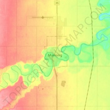
Name: Manning topographic map, elevation, terrain.
Location: Manning, Town of Manning, Alberta, T0H 2M0, Canada (56.88346 -117.66726 56.96346 -117.58726)
Average elevation: 1,575 ft
Minimum elevation: 1,421 ft
Maximum elevation: 1,693 ft