
Agay topographic map
Interactive map
Click on the map to display elevation.
About this map
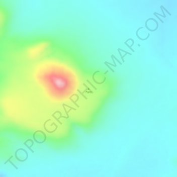
Name: Agay topographic map, elevation, terrain.
Location: Agay, Ennedi Ouest, Tchad (17.64076 21.66293 17.64086 21.66303)
Average elevation: 2,356 ft
Minimum elevation: 2,205 ft
Maximum elevation: 2,802 ft
Other topographic maps
Click on a map to view its topography, its elevation and its terrain.
Lac Yoa
Tchad > Ennedi Ouest > Ounianga Kebir
Lac Yoa, Ounianga Kebir, Ennedi Ouest, Tchad
Average elevation: 1,270 ft